↓
 

Columbus Land Surveying

...providing land surveying services to the Greater Columbus, OH area.

Columbus Land Surveying Header
Columbus Land Surveying
  • Home
  • ALTA Survey
  • Boundary Surveying
  • Drone LiDAR Mapping
  • Elevation Certificate
  • Land Surveying
  • Topographic Survey
  • Blog
  • Contact Us
Home→elevation certificate→Buying Property in a Flood Zone? Start With an Elevation Certificate →flooded residential neighborhood aerial property risk elevation certificate context

Image navigation

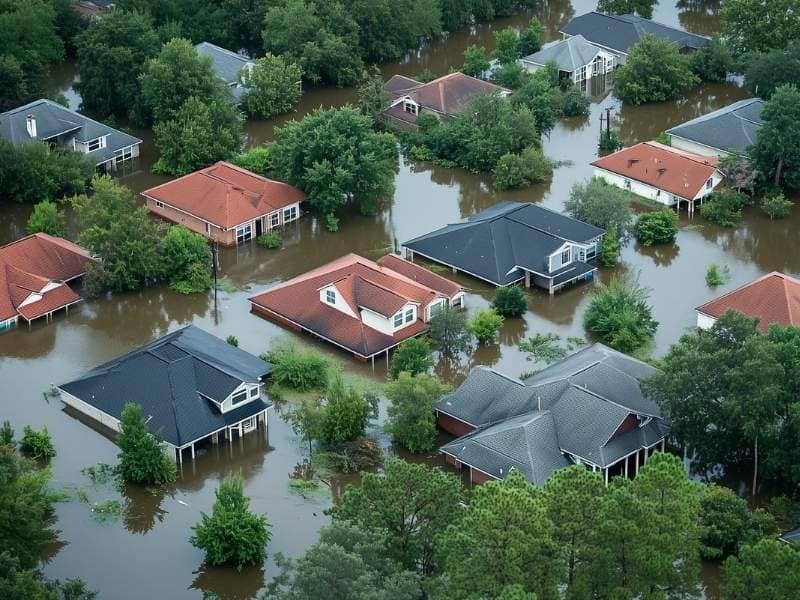
flooded residential neighborhood aerial property risk elevation certificate context

Published July 1, 2026 at 800 × 600 in Buying Property in a Flood Zone? Start With an Elevation Certificate
Aerial view of a flooded residential neighborhood showing submerged houses and high water levels illustrating property flood risk conditions.

Image navigation

Get Quote Button

Recent Posts

  • Buying Property in a Flood Zone? Start With an Elevation Certificate
  • When Does an Elevation Certificate Become Necessary for Your Property?
  • What Is Survey Mapping and What Does It Produce?
  • 5 Critical Questions to Ask a Licensed Surveyor Before Hiring
  • What Is Aerial Mapping and How Is It Used for Land Development

Categories

  • alta survey
  • boundary survey
  • building survey
  • drone lidar mapping
  • elevation certificate
  • land surveying
  • land surveyor
  • topographic survey
© Copyright Columbus Land Surveying
250 W. Old Wilson Bridge Road, Suite 250
Worthington, Ohio 43085
Terms of Use  |  Privacy Policy
Web Development and SEO by:
N2Biz.co
↑