
Property Line Survey for Driveway Expansion Plans
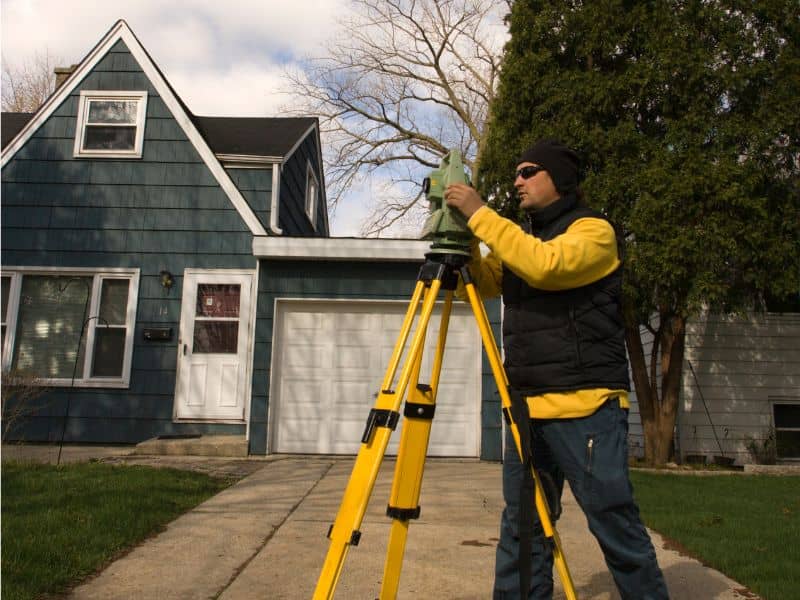
A driveway expansion sounds easy until the digger hits a neighbor’s property line, a buried pipe, or a setback rule the city never approved. Homeowners and contractors run into this more than you might think. Fixing it after the fact almost always costs more than the survey would have cost up front. A property line survey shows you exactly where your land ends before anyone pours concrete.
If you plan to widen, stretch, or reroute a driveway in the area, here is what a property line survey tells you. It also explains why you need it at the start of the project, not partway through.
Reviewing Property Boundaries Before Driveway Expansion Projects
A property line survey shows the legal edges of a lot. It uses recorded deeds, plats, and markers found on the land to establish where the boundary actually sits.
Many lots, especially in older areas like Clintonville, German Village, and parts of the Hilltop, were mapped out decades ago. The setbacks were often narrower, and lot lines don’t always match what people assume today. Fences, hedges, and even old pavement often sit a bit off the real line, sometimes by a foot or more.
Before you expand a driveway, check:
- The exact spot of the property line closest to your planned expansion
- Whether any fence, structure, or pavement already sits on a neighbor’s land
- Setback rules for your zoning area, which your surveyor can point out but your local building office confirms
- Whether an easement runs through the spot you want to pave
If you skip this step and trust a fence line or an old plat, you might end up with a driveway that sits on someone else’s land. That becomes a real problem when you sell your home or if a neighbor complains.
How a Property Line Survey Identifies Driveway Constraints
A property line survey does more than mark where your lot ends. It also points out the specific things that limit or shape your driveway plans.
Easements and right-of-way. Utility easements often run along the front or side of a lot. Expanding your driveway across one does not remove your duty to keep it clear. Some cities also keep a strip of land between the street and your real property line. This affects how close pavement can legally sit to the road.
Setback and zoning limits. Nearby suburbs each set their own rules for how close a driveway can sit to a side property line. A survey shows you exactly how much space you have, which matters most on narrow city lots.
Utility lines and drainage patterns. Buried gas, water, and sewer lines do not always follow a simple path, especially on older lots. A survey plus a utility locate cuts the risk of hitting a line while digging. It can also point out drainage patterns that a wider driveway might block.
Shared driveways and access agreements. Some properties, especially older infill lots, share a driveway or an access easement with the lot next door. A survey brings this up before your plans assume space that is not fully yours.
Using Survey Information for Driveway Design and Construction Planning
Once your boundary and other limits are confirmed, that information becomes the base for the actual design work. A contractor or engineer working without a current survey is basically guessing where the buildable space ends.
Survey information helps with driveway planning by giving you:
- A confirmed buildable width, based on real property lines and required setbacks
- Slope and grading data, which matters for moving water away from the house and toward the street or an approved drainage path
- A record of existing pavement, structures, and landscaping, which permit forms will ask about
- A base map that contractors can use to lay out forms and stakes before work starts
If your expansion connects to or widens an apron at the street, Columbus and most nearby cities require a right-of-way permit. The application usually asks for measurements tied to the property line. Having survey data ready speeds this process up a lot.
For bigger expansions, especially ones with a lot of grading or more paved surface, ask whether a topographic survey should be added on top of the boundary work. This gives your engineer or contractor a fuller view of drainage and slope across the site.
Reducing Property Risks Before Expanding Driveway Areas
The risks tied to a driveway expansion go beyond permit delays. Boundary and easement problems can cause issues that last long after the project ends.
Here are common risks a property line survey helps you avoid.
Encroachment disputes. A driveway that crosses onto a neighbor’s land, even by a small amount, can lead to a legal fight or a forced removal years later.
Title and resale problems. Hidden encroachments or easement conflicts often show up during a future home sale, when a buyer’s lender asks for a new survey and finds the issue.
Permit violations. Building without confirmed setbacks can lead to a stop-work order or a demand to remove and redo the work.
Utility damage. Digging without confirmed utility locations risks service outages, repair costs, and safety hazards.
Rules for setbacks, easements, and permits can change based on the city, the county, and even the zoning area. Check current rules with your local building office before you finish your design. If time is tight because of a closing date, a start date, or a permit deadline, order your survey early. How fast a survey gets scheduled and finished can affect the pace of the rest of your project.
Frequently Asked Questions
Do I need a property line survey for a small driveway expansion?
It depends on how close the expansion comes to a property line, easement, or right-of-way. Even a small expansion can cause problems if it moves pavement closer to a boundary than local setback rules allow, so it is worth checking before you build.
How is a property line survey different from checking a plat map?
A plat map gives a general idea of lot size, but it is not based on a current, on-site measurement. A property line survey uses recorded documents and real markers to set the actual legal boundary. That is what permit and building decisions should rely on.
Will the city require a survey for a driveway permit in Columbus?
This depends on the city and the size of the project. Some permit forms ask for measurements that assume accurate boundary information, so check with your local building office to see what they need.